Alphabet-owned company Wing Aviation today launched an app called Wing OpenSky that serves as a defacto air traffic control for drones.
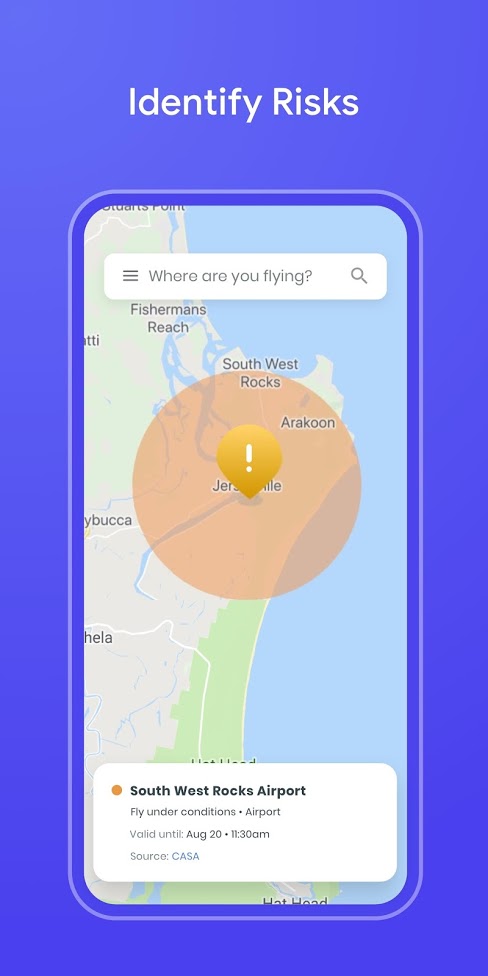
Releasing on Android and iOS, OpenSky offers an interface similar to Google Maps, but with different information. No-fly zones like those around commercial airports and controlled airspace where helicopters or other hazards are clearly displayed on the interface. The app provides this information using backend technology that Wing developed internally for drone delivery operations.
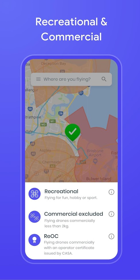
Opening up the app provides a checklist depending on the type of drone a user is operating. Options include recreational drones, “commercial excluded” drones weighing under 2 kilograms, or “ReOC”, a certified type of drone regulated by the Civil Aviation Safety Authority.
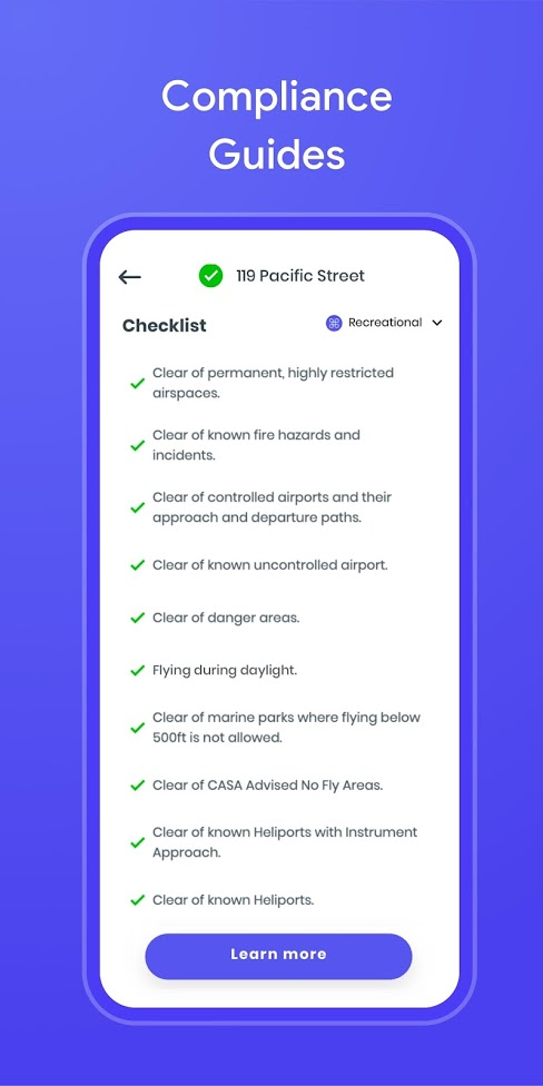
The checklist includes reminders about Australian drone operation guidelines, such as ensuring the operator is clear of restricted airspace, known hazards, uncontrolled airports and helipads, among other restrictions.
The app is available now for free, and Wing says they will deliver a wider range of OpenSky products in the future. Currently the app only works in Australia, but it’s possible that Wing will extend the functionality globally in the future.
[appbox googleplay com.google.android.apps.wing.opensky]