

If there’s one thing that’s discombobulating on the modern internet its service fragmentation: when you’re used to being able to do something on one platform / form factor and you find you can’t do it on another. Unfortunately, Google’s services are riddled with examples of this.
Today however it seems we have one less example as an update to the Google Maps app brings easier integration with Google Street View. Previously to use Google Street View on Android you had to either long press on the map to bring up a pin and click on the images or open a maps listing and click on the images.
While this isn’t a huge amount of effort it doesn’t give you the blue indicator line like you get by clicking on ‘pegman’ on the web. These indicator lines tell you where there is Street View data available and more importantly where there’s not.
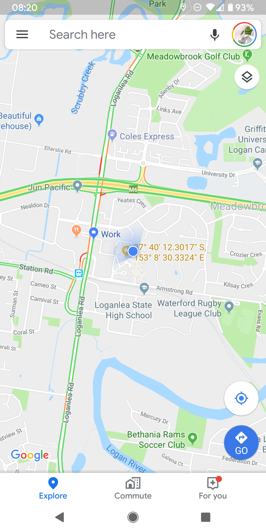
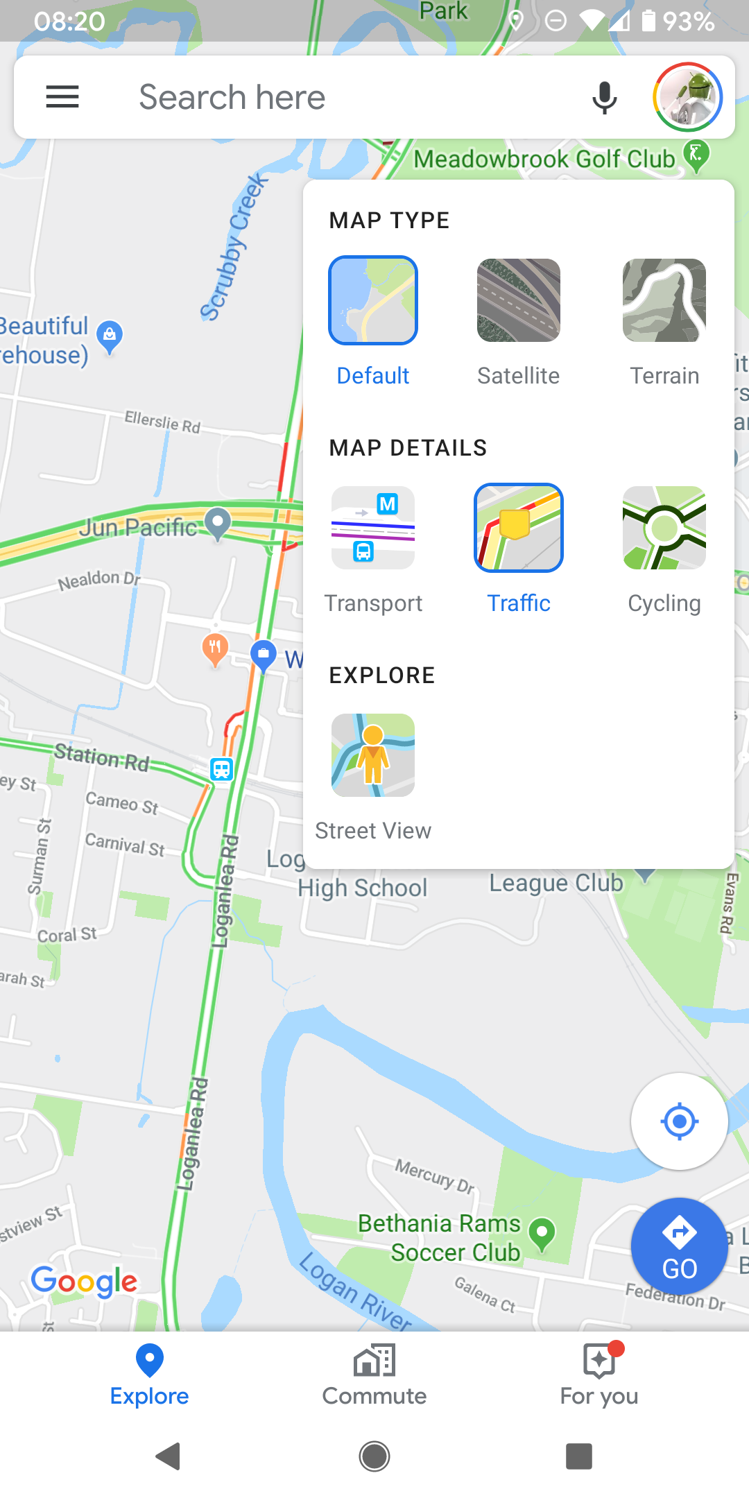
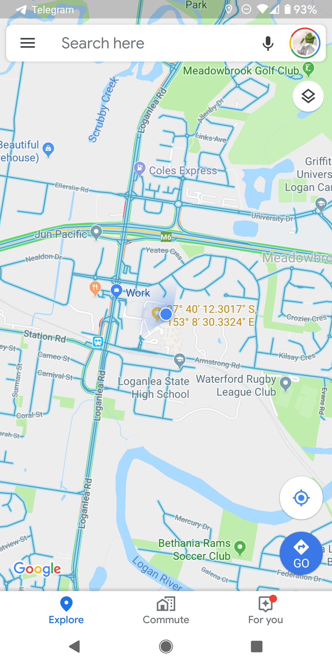
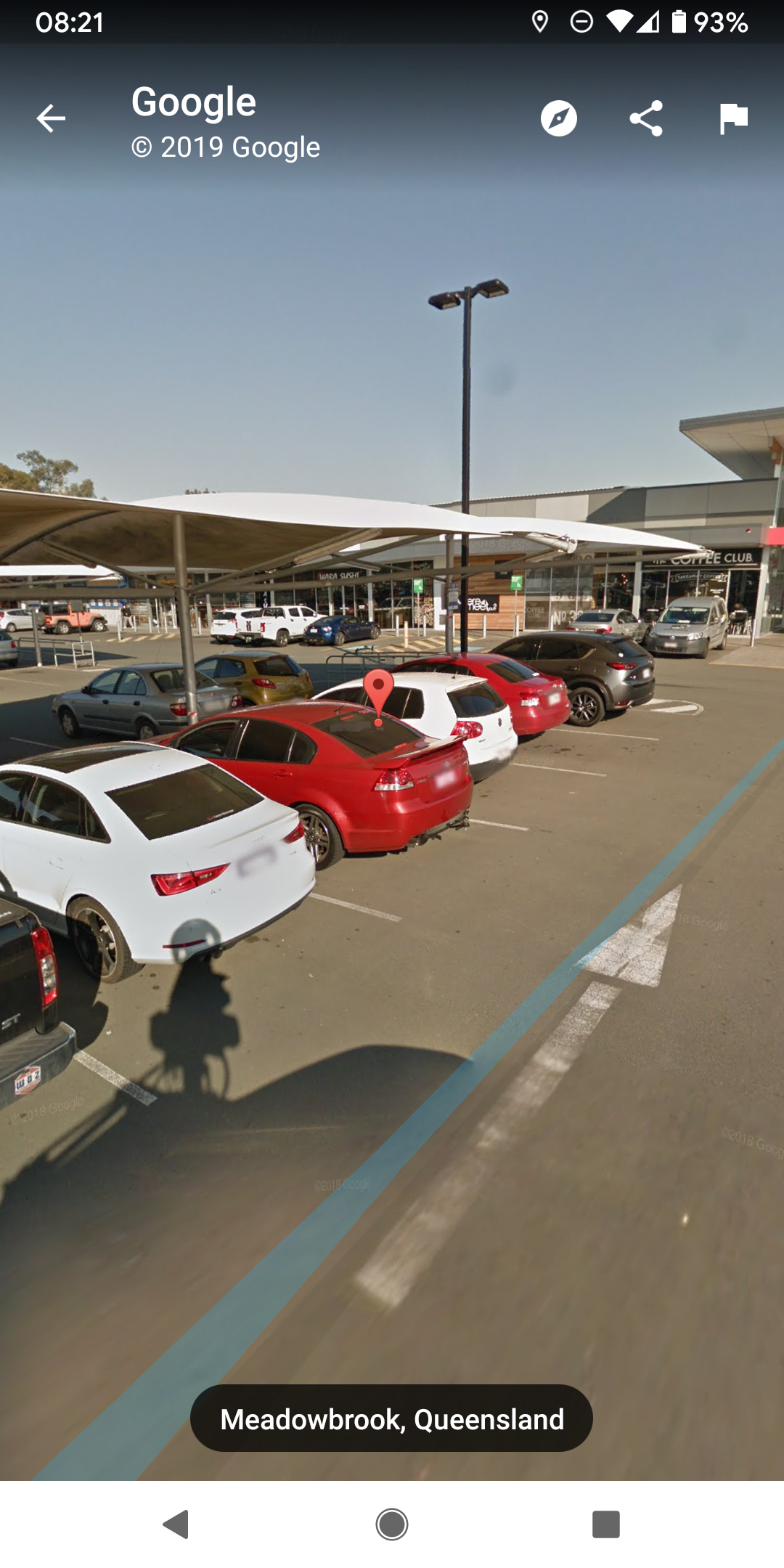
Now the ‘pegman’ view is available as a layer in the Google Map app for Android. Tap on layers, select Street View and you’ll see all available street view roads marked in Blue. From there tap on a road and the Street View images will pop up.
We’ve seen the update on all of the devices we checked so it seems Google may have already snuck this update through.


