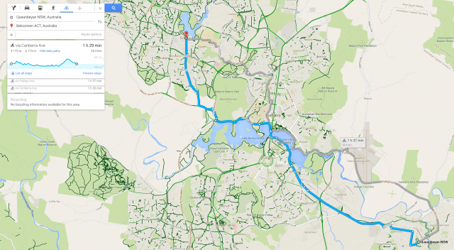
When you’re going for a bike ride, you’re always at least wary of how big the hills you’re going to encounter along your route are, but now Google has solved that problem by adding elevation information to their bike directions – at least on desktop.
The feature will only show up if you’ve activated the new Google Maps – who hasn’t done this? – but the elevation information is quite interesting. It’s not an exact thing, a route I planned which included quite a significant hill when heading out of town – Canberra Ave out of Queanbeyan for those who know the area – wasn’t even counted. In fact it appears to only work for longer journeys. But it’s still cool and we hope it comes to the Android app quite soon.
Head over to the Google Maps to try it out.


