A lot of us use public transport every day and whether it’s to get to work or just get around it sometimes is just plain uncomfortable. Now Google have taken Maps even further than just directions with an ability to tell you how crowded the public transport you are about to catch is.
Based on past rides Google is introducing ‘crowdedness predictions’ for public transport to Google Maps. The past rides data has come from feedback given by users anonymously in the past nine months. The data was collected during peak times of 6am and 10am and analysed to bring the new feature to Google Maps.
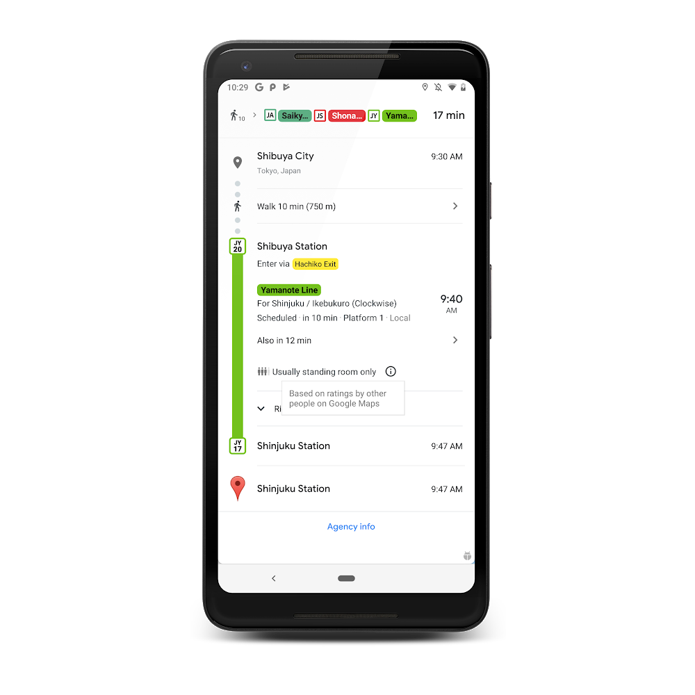
To use the feature you need to ask for directions to where you are going and the result will show you information regarding how crowded the vehicle is — eg. ‘usually standing room only’. At this stage we are unable to get the function working here but YMMV so let us know in the comments below if it is live for you.
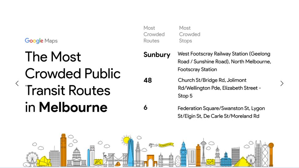
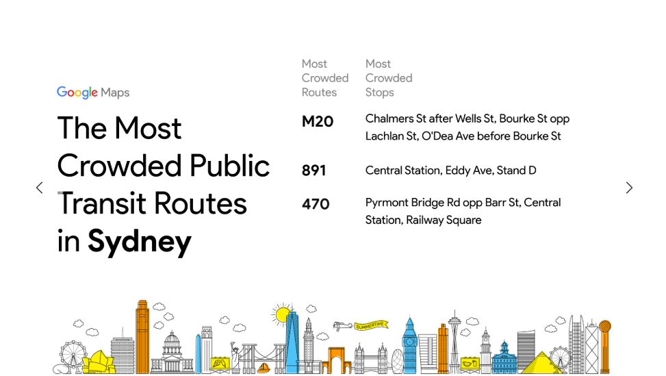
Google have shared all this captured data in a blog post showing which trains are the most crowded in your city. If you are interested you can also see those from other major cities around the world.
For those with time to spare it adds an extra bit of information that may help them decide whether to skip that vehicle and wait for the next one or not. For those without the extra bit of time Google is now adding live traffic delays for buses (where they don’t already have real-time information direct from your local public transport provider).
The new information on bus delays can help users to decide whether to continue on the current route, albeit late, knowing a more accurate arrival time or whether to change to a different route or mode of transport — of course Google Maps have you covered there. Tapping on the delay will give you other options to get you to your destination on time.

The above features are rolling out in nearly 200 cities around the world for Android and iOS users today. Keep any eye out for them if the public transport is your bane of existence and let us know below if it helps you at all.

