Finding a charging station with an available port for your electric vehicle just got easier for Google Maps users, with new EV charging station display data added to the application today – in the US and UK.
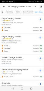
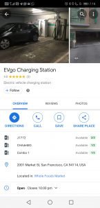
At charging stations from partner vendors, Maps will now show the number of available ports (in green if any are available, grey otherwise). You might find that you can avoid the queue at your normal charging station by traveling a few extra blocks.
The company has partnered with multiple charging station providers (the blog lists Chargemaster, EVgo and SemaConnect and says Chargepoint is coming soon) to get real-time data about port usage and integrate the information into Maps.
You can see the feature in action even if you’re not in the US or UK by searching “ev charging stations near (city name)” in Maps.
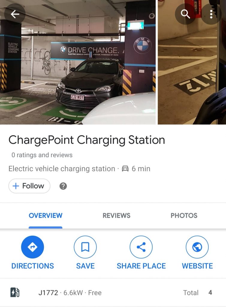
If you’re looking at stations from partner vendors in those countries, you’ll see available ports listed (it’s green if available, grey otherwise). In other countries (like Australia) you can still do the search but you’ll only see the total number of ports.

Google’s announcement didn’t include any details about rolling the feature out in other countries. While some vendors they’re already working with would cover multiple territories – Chargepoint is active in Australia, for instance – they’ll likely need to partner with others to get the data they need in the right format, similar to the way they pull in data for Maps transit information.


