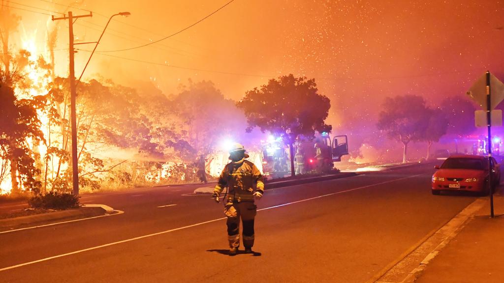
If you live in a region prone to bushfire, then you’re hopefully already well prepared for summer. But you also know that fire is an unpredictable beast. In partnership with the State and Territory Fire Authorities, Google Maps now has a bushfire layer.
As out lined in a recent blog post, this information is being obtained from official sources. This is to ensure accuracy and improve your safety in the event you’re in the fire’s path.
For over a decade, we’ve been working with Australian state and territory fire agencies to deliver crisis response alerts on Search, Maps and Android devices to help the community stay safe and prepared during bushfire seasons. And today, we’re rolling out a new bushfire layer on Google Maps to help Aussies access prompt and official bushfire information more easily and quickly.
I’ve been with the SES a long time and supported our local fire services on multiple major firegrounds. During this time, a couple of themes comes throguh repeatedly:
- The public didn’t understand the scale of the fire
- People didn’t know where the fire was
- People didn’t know how fast it was travelling
By having all of the information about local fire emergencies at your fingertips, you can not only get inforamtion quickly but also plan a safe path of escape if you’re unfortunate enough to be in the fires path.


As usual east coast centric and even that is not great.
If you want an actual good map integration with emergency information goto https://bushfire.io and use their app. Bonus you can get notifications for when incidents occur within range of locations you choose.