With multiple states of Australia having partial or full lockdowns in place due to COVID-19 there are new struggles emerging. If you’re in an area — as I am currently — where the exposure sites are growing rapidly, sometimes it’s hard to remember where you’ve been and when. Luckily, Google Maps may be able to solve that issue for you.
While some may believe that Google tracking users of Android devices is a bad thing, right now it’s come in handy. By simply accessing the timeline within Google maps you can see where you were and roughly when. This gives you an easy to access way to either confirm or disprove, to yourself or the necessary authorities that you were at an at-risk location.
So how do you access your location timeline?
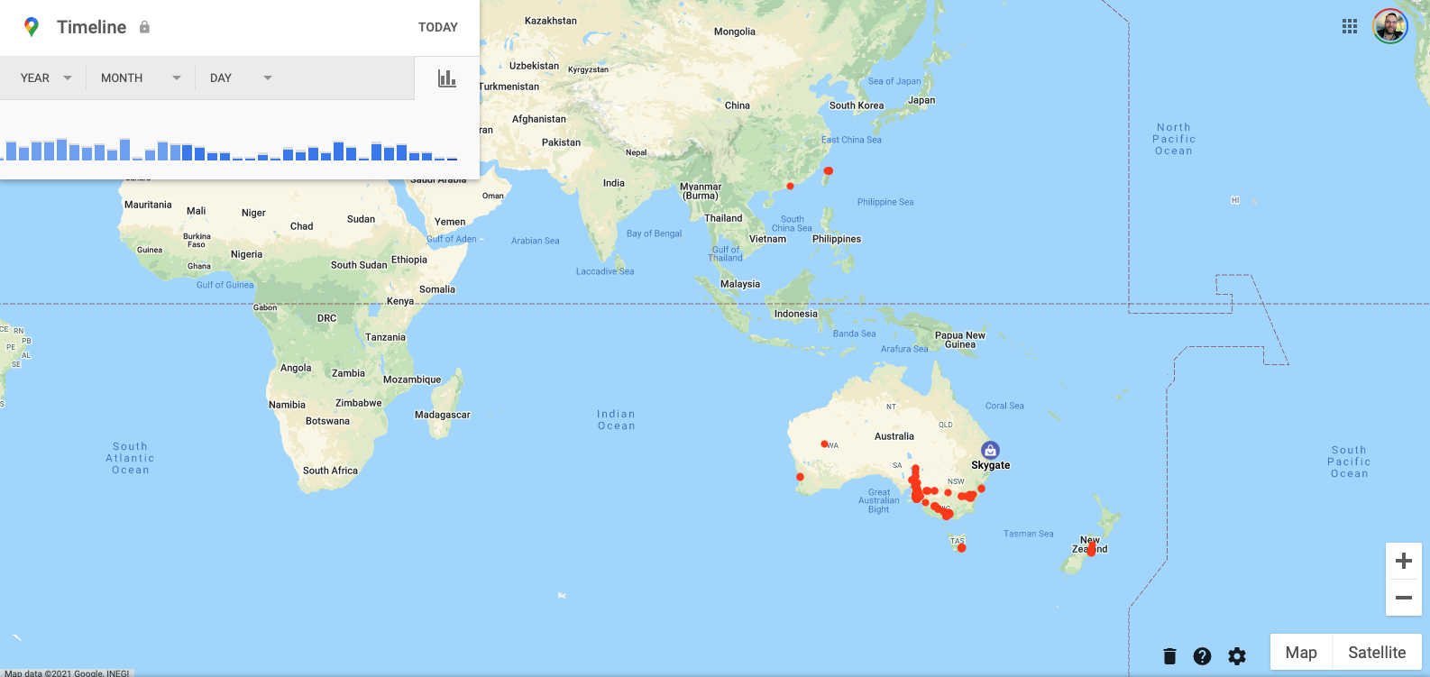
Via a PC it’s very simple, just navigate to https://timeline.google.com when you’re logged into your primary account.
This will load a page with your “all time” timeline. This in itself is interesting to take a look at, but that’s not the point for today. By checking the advice from your local health authorities you’ll know what your local exposure sites are and can then narrow down your location by year, month and day. As you do so, the map will zoom in to only encompass the locations you’ve been logged at during that specific time. You can then crossmatch your phone’s location against the exposure sites you’ve attended and the noted times of risk.
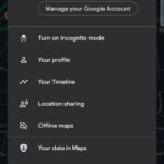
It’s just as easy via your mobile device, just with a slightly different pathway to viewing specific activities. In this case, open Google Maps and tap your account image. From there a drop-down will appear that has your timeline as an option. You can then select individual days to confirm your location and timing.
While we live in these uncertain times and the ever-present threat of COVID-19 outbreaks let’s be smart, look after yourselves and the community by knowing where you’ve been and when. For me, the vague concern of how that tracking data could be used is far outweighed by the convenience of knowing I have a record to hand easily should a potential exposure occur.
How has your Google Maps timeline been useful to you?





Also, if you use Google Pay, it shows dates and times of transactions which can be really helpful too.
100%. Have used both Maps timeline and Pay to figure out where I’ve been and when.
Really solid suggestion – Thanks!