
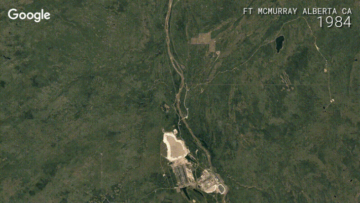
Google Earth was one of Google’s earliest projects that seemingly was done because they could, there was no clear commercial benefit. Since then Google Earth has grown and grown and is today an incredibly useful tool for all sorts of things, including real scientific research. In 2013, Google introduced time-lapse to Google Earth which let you watch the changing face of the world over time. Today’s update has added 4 more years into the time-lapse feature giving you access to worldwide satellite imagery from 1984 up to 2016.
That’s 32 years worth of growth, change and development. Do you want to see how your city or local area has changed in the past 32 years? Or perhaps watching the slow erosion of Glaciers is more your thing? IF you’re interested in watching how the world has changed, physically at least then head on over to Google Earth Timelapse, or just play with the time-lapse map below, it’s set to Brisbane but you can move it somewhere less desirable if you like!
Of course, what Google announcement would be complete without a little computation magic? Using a combination of improved satellite data and we’re guessing a little Machine learning, Google has ensured that the Google Earth images are cloudless and as sharp as possible. Google has now created 33 “images” of the entire planet, in the highest resolution, clarity and cloud-free form it can.
If you really want to get down and dirty and create your own video or Slideshow then you can head on over to Carnegie Mellon and check out their Creat Lab project “Time Machine Earth Engine” that lets you direct your own earth sized feature!
If you don’t want to bother playing with Google Earth but you’d love to see some of the time-lapse images why not watch this YouTube playlist?
Let us know what cool locations you find.


